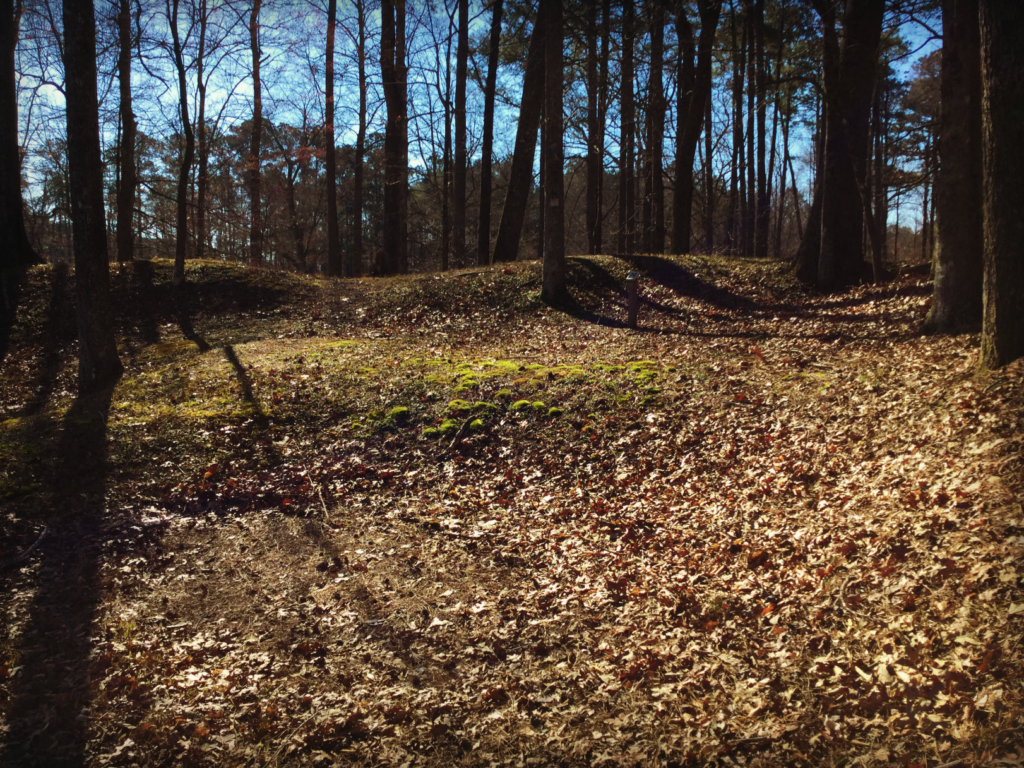
“Saving Our Civil War History” has become a new BGES tagline, and we are always keeping our eyes out for ways to proactively restore historical interpretations. One project that we currently are excited about concerns a nearly forgotten Civil War site near Hamilton, North Carolina—Fort Branch—which was in need of new interpretive signs. We last reported that a partnership was created to install up to 20 interpretive signs, BGES members had sponsored the signs and funded the work, and an Eagle Scout candidate had been targeted to conduct the installation. We caught up with BGES member and project manager Doug Cumins for an update.
BGES Blog: So where does the project stand today?
Doug Cumins: Fundraising is complete—that was the easy part! The generosity of BGES members constantly amazes me. We have the content needed for the 18 to 20 signs, provided by volunteers at Fort Branch. In fact, they provided so much excellent information about the fort that we are considering printing a brochure that could be handed out to visitors looking for more detailed information.
BGES Blog: Who is involved in the project?
Doug Cumins: I am the project manager – I’m a former BGES board member/president and longtime member. We just brought Gloria Swift, BGES Historian, onto the project to help with sign text and photographs. Gloria has a long history with the National Park Service developing exhibits, including signs at Fort Pulaski in Georgia. We are very lucky to have her on our team. Scott Williams, a Chesterfield County historian, has volunteered his time and knowledge to help BGES with the layout of our signs, including text, graphics, and maps. He did an exceptional job designing BGES interpretive signs for Bermuda Hundred in Chesterfield County, Virginia, and he also designed the Blue Trail Signs at North Anna in 2014. At Fort Branch, we have been working with Dr. Lawrence Babits, accomplished author and educator, who is the fort’s volunteer historian, and Jimmy Braswell, president of the Fort Branch Historical Society. Mr. Braswell has been instrumental in moving this project forward. In addition, there are several other volunteers from the fort who are assisting and providing support. Of course, BGES Executive Director Len Riedel has been keeping an eye on the entire progress.
BGES Blog: What is the timeline?
Doug Cumins: The timeline for completion of this project at Fort Branch is Spring 2020. Once the text and selection of proposed photos and drawings is completed and approved by the Fort Branch Historical Society, we will hand everything over to Scott to finish the layout. Production will be shortly after that, and we hope to put the signs in the ground next spring in time for the tourist season to begin.
BGES Blog: Are there any exciting twists to the project, as you’ve gotten deeper into it?
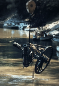
Doug Cumins: The most interesting thing I learned about Fort Branch is about its cannon. There were about seven at the fort, including two six-pounder smoothbores, a 24-pounder smoothbore, and a 4.62” banded Brooke, which were dumped in the Roanoke River when the Confederates fled at the end of the war. Relic divers illegally recovered three cannon from the river in 1972, which were seized as property of the state of North Carolina and now are on display at the fort. Then an official recovery of additional cannon from the river took place in 1977, during which time four additional cannon and their carriages were pulled up. Although I knew some of this early on, some of the details I learned reading the text provided by Dr. Babits’ for the signs and seeing his pictures really impressed me.
BGES Blog: What are the challenges?
Doug Cumins: The biggest challenge thus far has been too much interesting information! That’s why, in addition to the signs, we are considering a supplemental brochure that will be available for visitors. Another challenge has been that most of us working on the project are volunteers with full-time jobs. That can slow things down a bit, but it’s nothing that we can’t handle.
BGES Blog: What will the signs offer the viewer when they are complete?
Doug Cumins: Our overall goal for these interpretive signs is to help the visitor understand the role of Fort Branch in the Civil War. For instance, why is there a large fort in a remote area of North Carolina? Why did Confederates need to defend the Roanoke River so far inland from the coast? How was the fort built? How was it used and defended? Why was it abandoned? And, of course, we want to tell the story of the original cannon that were recovered from the Roanoke River that can still be seen at the fort today.
BGES Blog: Any other thoughts?
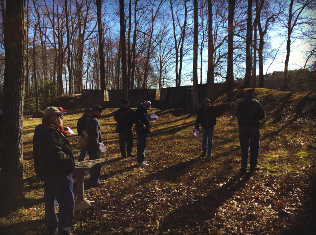
Doug Cumins: I think this is a really neat project for BGES to be undertaking. When I first visited the fort last year, I found it really interesting and learned a lot from the guided tour given to us by a fort volunteer. But much of the time, a volunteer isn’t available for guided tours, so educational signs will really enhance the visitor’s experience and help them to understand the fort’s past. And that’s really what the BGES is all about—revealing our past for our future.
Thank you to BGES Historian Gloria Swift for contributing to the accuracy and details of this story.