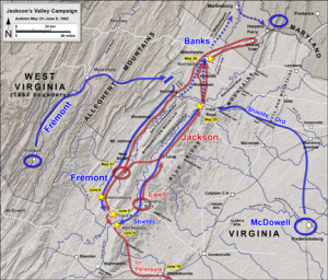
 Hal Jespersen, a long-time BGES member and retired computer industry executive, has created over 200 free maps illustrating Civil War campaigns and battles for Wikipedia. Hal recently started offering his mapmaking skills to historians for commercial use, and in 2011 completed eight projects for publication. In 2012, BGES has commissioned Hal to produce a series of large-scale campaign maps for use in the field.
Visit Hal’s new website, CWMaps.com to see 200+ maps available for free downloading, and a portfolio of his commercial services for custom maps. If you are writing a book or magazine article, or would like illustrations for a website or presentation, Hal produces a high-quality product at a reasonable price. Although any military mapmaking project is fair game, Hal has a deep familiarity with the campaigns, battles, tactics, and organizations of the Civil War, and has amassed a large research library to aid him in his work, so he can be an ideal partner for any Civil War historian.
